
 |
| The red bounded area from the 1922 OS map is the part of Hatfield Road featured in this post. Courtesy NATIONAL LIBRARY OF SCOTLAND |
 |
| The triangular plot is the former laundry site following demolition, with the farm track to its left from the roundabout. To the right of the green patch is the detached house until recently owned by Burgess funeral directors. Behind this are the factory buildings. The semi-detached shop building in front of them will be part of the next post. Courtesy GOOGLE EARTH |
 |
| The same area as the top map but from 1937 COURTESY NATIONAL LIBRARY OF SCOTLAND |
 |
| Foundation stone on the Institute building, located to the right of the Arthur Road street place, hidden behind more modern brickwork in the photo below. |
 |
| The Institute photographed after modernisation in 1964. COURTESY ST ALBANS MUSEUMS |
 |
| The cottage which would form the start of the laundry. Was this intended to be the left side of a pair? |
 |
| Hatfield Road looking towards Beaumont Avenue c1920. The cottage is on the left, with the extended laundry and the detached house after that. COURTESY ST ALBANS LIBRARIES/HALS |
 |
| The Laundry and Gentle's share the building in 1964. COURTESY ST ALBANS MUSEUMS |
 |
| The Fleetville Vintage Emporium occupies the site. COURTESY FLEETVILLE VINTAGE EMPORIUM |
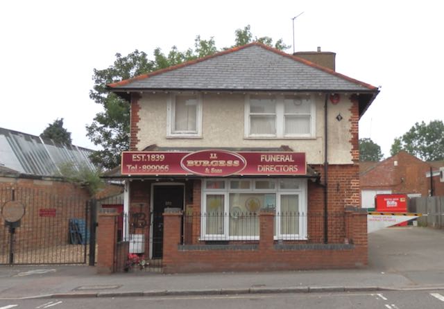 |
| The detached house, called Mariposa, for Thomas Oakley. Factory space behind. |
 |
| New development, Montague Close. |
No comments:
Post a Comment