
In the same period, following the end of the First World War, the government created a huge infrastructure programme to manage the expected increase in motoring, and to protect the historic heart of many of our towns and cities. So, let's see what that meant in practice for St Albans. The trunk roads from the county's towns to the north and east reached Hatfield and funnelled through busy Fleetville to the centre, squeezing through St Peter's Street and Chequer Street, leaving St Albans through developing Chiswell Green towards Watford. Yes, we know that Fleetville appears even busier today. Nevertheless, it was one of those planning issues that never seemed to go away: what to do about through traffic in St Albans.
 |
| Off-peak at London Colney Roundabout |
By 1927 the A1 improvements, including the Barnet Bypass were complete between Stanborough and Hatfield, and two years later the Watford Bypass between Garston and the A41 North Watford was opened. They were designed to a common standard with three-lane dual carriageways, 10-foot wide footpaths and a wide grass strip to carry pipes and cables. Only one carriageway would be built initially. Because the section of the strategic route, labelled the North Orbital Road, wasn't even begun around St Albans, the effect of wonderful new roads to the east and south funnelled even more traffic through our eastern suburbs.
When it finally arrived our brilliant new St Albans Bypass certainly made a statement. No longer was it necessary to grunge through the ancient city, just as it had not been necessary to splutter head-to-tail through Hatfield or through St Albans Road in north Watford. Fleetville immediately felt the benefit.
The bypass attracted two rather prosaically-named filling stations: the Humming Bird (at the Noke) and the Rainbow (near Colney Heath). There were downsides, however, for those who lived nearby the new road or whose journeys needed to cross it. At Colney Heath, White Horse Lane, Napsbury Lane and Tippendell Lane there were simple cross-road junctions – only the Napsbury junction has been flown when the carriageway was dualled in the fifties. For all of us still struggling with Colney Heath longabout it will be galling to discover that within two years of opening flyover junctions were planned for Colney Heath, and at Park Street (one of two junctions – the other being London Colney – provided with small roundabouts from the start). Both flying junctions were cancelled as the funds dwindled. Meanwhile, White Horse Lane was closed to traffic when that section of the bypass had its second carriageway added in the 1960s.
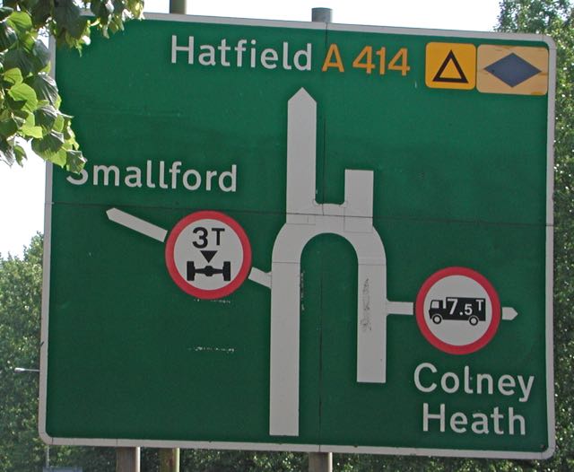
As with the Ring Road, the St Albans Bypass (North Orbital) – in planning the saviour of Fleetville's traffic problems and relief for the city centre – has always thrown up problems of its own, and now accommodates too many vehicles for its closely-spaced junctions to handle at peak times. As Hatfield has expanded, as additional lorry movements from a new Smallford
gravel site are given the go-ahead, and whatever development is finally approved for the old Handley Page site, one issue will still be around: how to handle the traffic on the bypass.
No comments:
Post a Comment